# Ahuachapán and Its Restive Neighbors
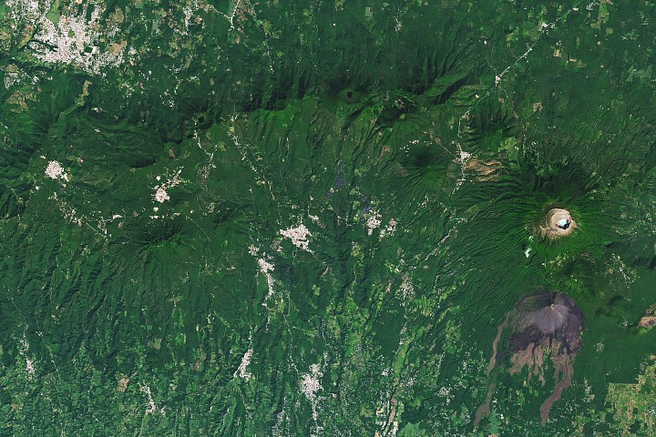
NASA satellite observations reveal intense geothermal activity beneath Ahuachapán, a volcanic region in western El Salvador where underground heat drives both scientific intrigue and geological risk. The area sits atop a geothermal hotspot where tectonic forces create conditions suitable for power generation but also generate seismic instability.
Ahuachapán once earned the nickname "Lighthouse of the Pacific" for its strategic visibility across the region. Today, thermal imaging from space shows the landscape remains dynamically heated by subsurface magmatic systems. The geothermal gradient in this zone exceeds normal continental values, making it one of Central America's most thermally active regions.
El Salvador has long recognized Ahuachapán's energy potential. Geothermal plants operate in the area, tapping steam reservoirs to generate electricity. Yet the same geological forces driving this renewable energy resource create ongoing seismic activity. The volcanic and tectonic setting means the ground beneath Ahuachapán and surrounding regions remains restless.
NASA's thermal and geological monitoring provides critical data for understanding the subsurface architecture. Satellite instruments detect heat signatures that reveal magma chamber locations and circulation patterns in hydrothermal systems. This information assists both resource management and hazard assessment for communities living atop these volatile landscapes.
The geothermal systems supporting Ahuachapán's power infrastructure operate at the intersection of geology and human settlement. Sustained monitoring through space-based instruments helps scientists track changes in thermal output, subsurface pressure, and potential precursor signals to major seismic events. Understanding how heat moves through fractured volcanic rock directly informs decisions about infrastructure placement and emergency preparedness.
Ahuachapán represents a broader challenge across the Pacific Ring of Fire. Regions with geother