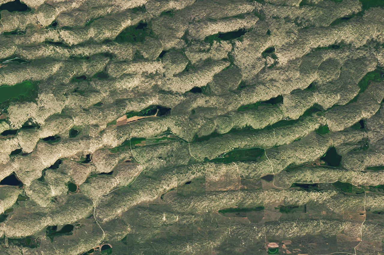
NASA has released a satellite image puzzle for June 2026, inviting the public to identify a location captured from orbit and explain its scientific or geographical significance.
The agency regularly shares Earth observation imagery from its fleet of satellites as a way to engage citizens with remote sensing technology and environmental monitoring. These puzzles highlight the capabilities of NASA's Earth Science Division and demonstrate how orbital platforms detect changes across the planet's surface.
Satellite imagery serves critical functions beyond public engagement. NASA's Earth-observing missions track urban expansion, monitor agricultural patterns, detect wildfires and volcanic activity, measure ice sheet dynamics, and observe ocean temperatures. Instruments aboard satellites like Landsat, MODIS, and the Visible Earth collection capture data across multiple wavelengths, revealing features invisible to the human eye.
The June 2026 challenge directs viewers to examine visual clues in the image. Successful solutions typically require identifying distinctive geographic features, human infrastructure, geological formations, or environmental patterns. Participants must explain not just where the image originates but why that location matters scientifically or practically.
These community challenges serve dual purposes. They democratize access to space-based Earth observation data while building public literacy about how satellites monitor our planet. NASA's Earth Observatory team curates these puzzles specifically to encourage critical thinking about orbital imagery and its applications.
Participants can submit their answers directly to NASA, often receiving feedback on their responses. The agency uses these interactions to demonstrate the tangible value of its Earth science program and the insights that continuous satellite monitoring provides.