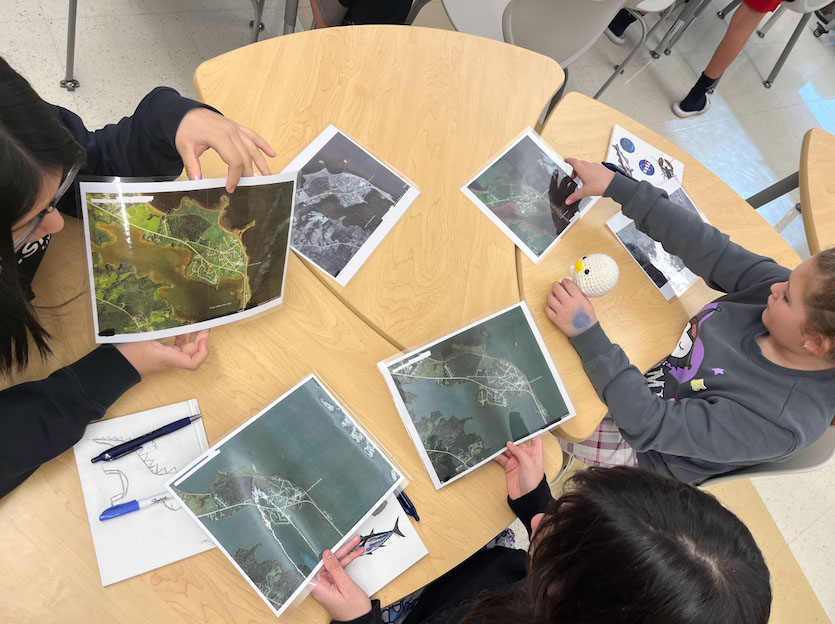
Students from the Pleasant Point Passamaquoddy Reservation are merging NASA satellite data with centuries of Indigenous knowledge to monitor coastal erosion threatening their community in Downeast Maine. The project combines Earth observation technology with traditional ecological understanding passed down through generations by the Passamaquoddy people.
NASA's remote sensing capabilities provide precise measurements of shoreline changes along Passamaquoddy Bay. The students access satellite imagery and geospatial tools to track erosion patterns that threaten their reservation's coastline. This data documents physical changes occurring at scales invisible to the human eye but catastrophic to land preservation.
The Passamaquoddy have inhabited these Maine shores for generations, developing intimate knowledge of tidal patterns, seasonal weather cycles, and coastal dynamics through direct observation and oral tradition. Elders possess detailed understanding of how the ocean behaves across decades and centuries. This knowledge system captures relationships between environmental variables that scientific instruments alone might miss.
By integrating both approaches, students gain a more complete picture of coastal erosion. NASA's quantitative satellite measurements verify and extend Indigenous observations backward and forward in time. Traditional knowledge contextualizes satellite data within the lived experience of the community and frames the stakes in terms of cultural survival and land stewardship.
The initiative addresses a dual crisis. Coastal erosion poses an immediate physical threat to the reservation's shoreline. Simultaneously, the project validates Indigenous science as equally rigorous and valuable as Western institutional science. Students participate in knowledge systems that honor their heritage while developing technical literacy with NASA tools.
This collaboration reflects a broader shift in Earth science toward recognizing Indigenous peoples as sophisticated observers and stewards of their environments. The Passamaquoddy students become both data collectors and interpreters, using science to protect their homeland while asserting that their ancestors' understanding of this landscape holds legitimate authority alongside satellite sensors and computer models.