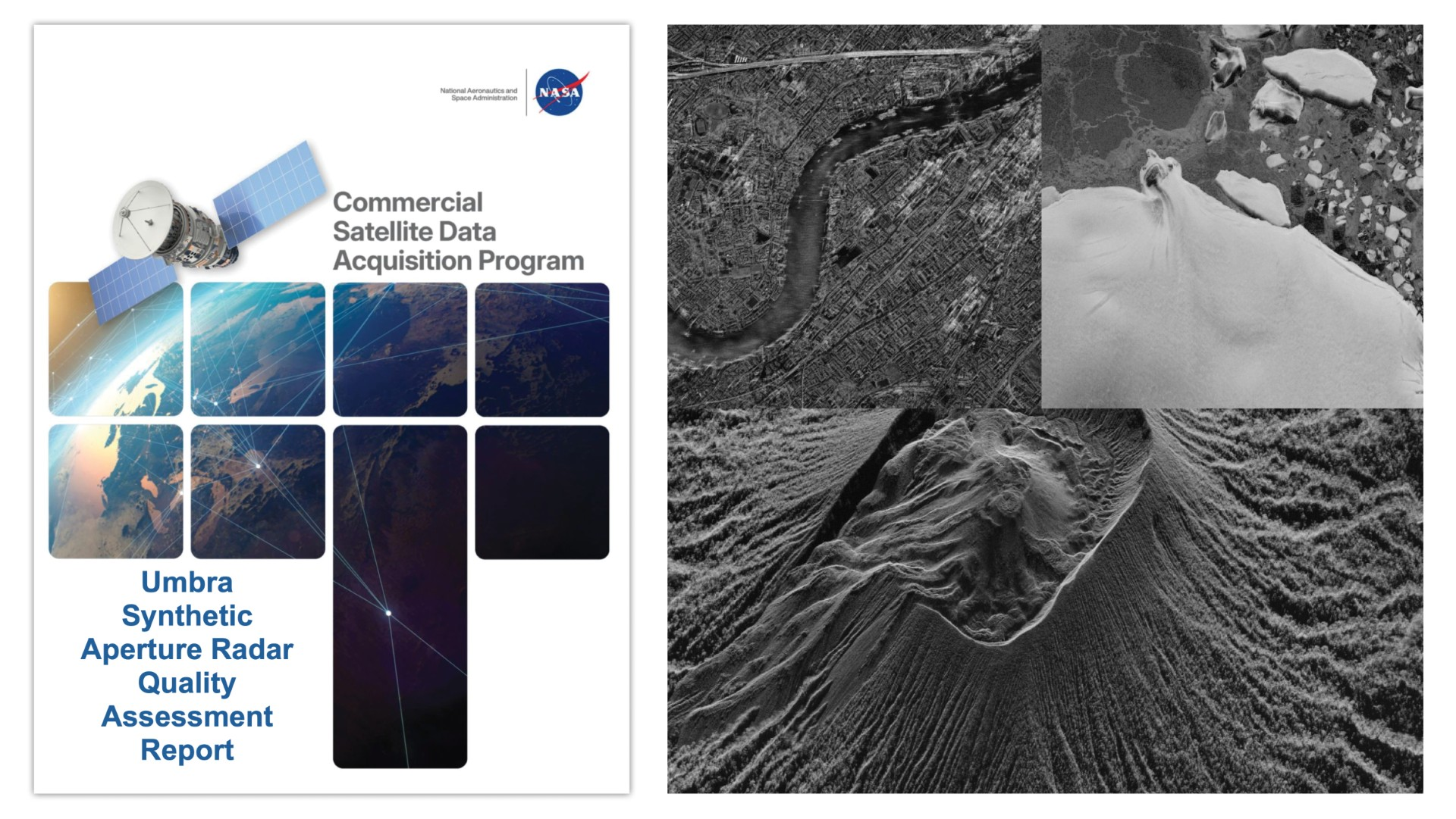
NASA released Principal Investigator and Quality Assessment Reports evaluating Umbra Space Operations' synthetic aperture radar (SAR) data, expanding the agency's assessment of commercial Earth observation capabilities. The reports document how Umbra's high-resolution radar imagery supports scientific research and practical applications monitoring our planet.
Umbra operates a constellation of small satellites carrying SAR instruments that penetrate clouds and collect data regardless of lighting conditions. This capability fills gaps left by optical sensors, which require clear skies and daylight. The company's radar data reaches spatial resolutions approaching one meter, enabling researchers to detect surface changes with precision previously available only through government systems.
NASA's evaluation focuses on data quality, processing standards, and scientific utility. The agency tested Umbra imagery across multiple Earth science domains, including land surface monitoring, disaster response, and climate research. SAR data proves particularly valuable for tracking flooding, mapping urban expansion, and monitoring agricultural conditions. Unlike optical systems, radar operates continuously through weather events, providing critical information when optical satellites cannot.
The reports reflect NASA's broader strategy of integrating commercial Earth observation into its science portfolio. As NASA's budget concentrates on deep space exploration and climate monitoring through specialized government missions, partnerships with companies like Umbra reduce redundancy and accelerate data availability. The agency benchmarked Umbra's products against established standards from NASA's own systems and other commercial providers.
These assessments strengthen Earth observation's commercial sector by providing independent validation that private radar data meets scientific rigor standards. Companies gain credibility with researchers and agencies seeking reliable imagery. NASA gains cost-effective access to continuous global monitoring without building and launching additional government satellites.
The documentation establishes technical baselines for comparing different commercial SAR providers. As more companies enter the Earth observation market, NASA's systematic evaluations help distinguish genuine capability from marketing claims. Umbra's data increasingly supports research spanning weather forecasting, water resource management, and haz