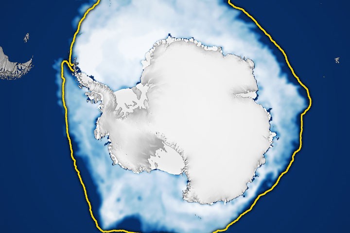
Antarctic sea ice has reached its maximum extent for 2026, marking the third-lowest peak since satellite monitoring began in 1979, according to NASA.
The measurement reflects a broader trend of declining Antarctic sea ice in recent years. Satellite observations have tracked polar ice coverage for more than four decades, providing researchers with a comprehensive record of seasonal variations and long-term changes in the frozen continent's surrounding waters.
Sea ice in Antarctica expands during the southern hemisphere winter and contracts during summer months. The annual maximum occurs as temperatures drop and ice formation accelerates. This year's peak ranks among the lowest recorded since systematic satellite tracking started in the late 1970s.
NASA's observations contribute to ongoing climate monitoring efforts that help scientists understand changes in polar regions. The data informs broader climate research and helps track environmental shifts in one of Earth's most extreme environments.
The Antarctic sea ice maximum provides a snapshot of conditions during a critical period for the southern polar region. Researchers use these measurements to assess year-to-year variability and identify patterns that emerge over decades of observation.