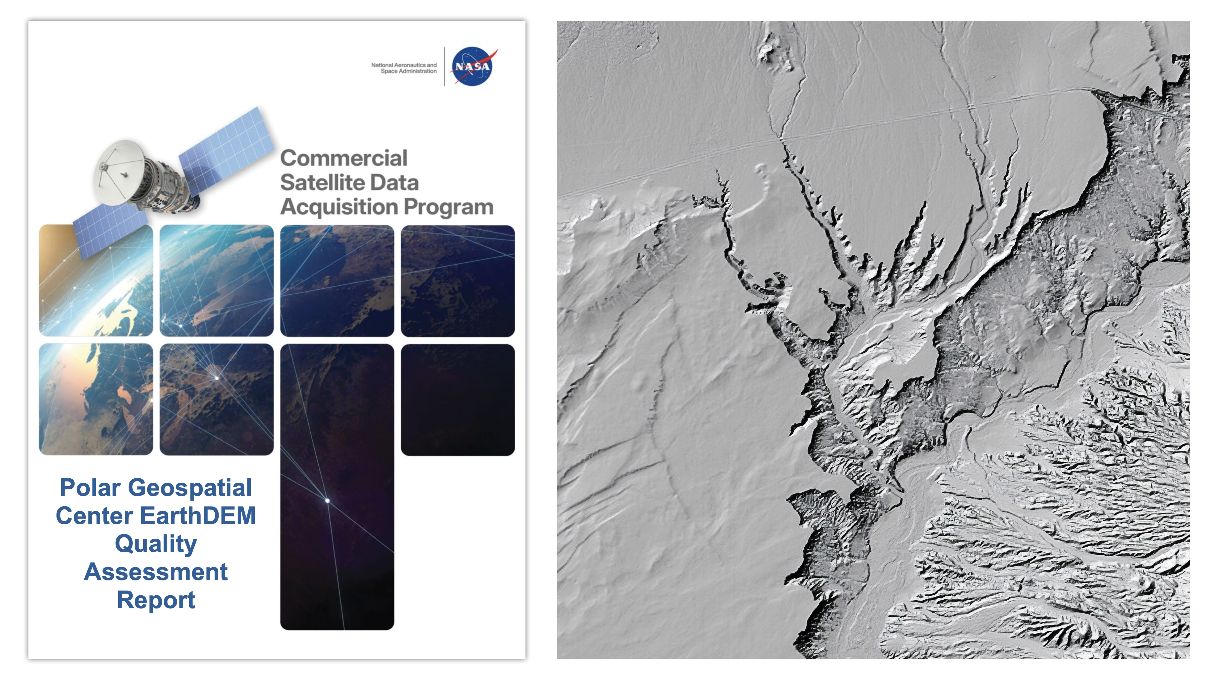
NASA's Commercial Smallsat Data Acquisition program has released a quality assessment report on the Polar Geospatial Center's EarthDEM elevation products, evaluating the accuracy and reliability of these commercial Digital Elevation Models (DEMs).
The report provides critical validation data for researchers and organizations using EarthDEM products across polar and non-polar regions. DEMs represent Earth's terrain as three-dimensional datasets, essential for climate monitoring, disaster response, infrastructure planning, and scientific research. EarthDEM products derive from high-resolution satellite imagery, offering detailed topographic information across vast geographic areas.
CSDA's assessment methodology establishes performance benchmarks by comparing EarthDEM outputs against independent reference datasets and field measurements. This validation process identifies strengths in the product suite while flagging limitations users should understand before deployment in their work. The report directly serves the user community by removing guesswork about data quality and appropriate applications.
Commercial DEM providers have become increasingly important to Earth science as government agencies expand reliance on private sector data collection and processing. These products support polar research particularly well, where traditional surveying proves difficult and expensive. Climate scientists use them to track ice sheet dynamics, coastal erosion, and permafrost degradation. Emergency managers deploy them for flood modeling and damage assessment after disasters.
The Polar Geospatial Center, based at the University of Minnesota, specializes in high-latitude imagery and analysis. Their EarthDEM line represents one of several commercial elevation products now available to researchers worldwide. NASA's quality assessment framework helps distinguish between products based on actual performance rather than marketing claims.
This report reinforces NASA's commitment to transparency in commercial space data markets. By publishing independent evaluations, the agency helps ensure that operational users, scientists, and planners select tools matched to their specific accuracy requirements and geographic needs. The assessment contributes to healthy competition among commercial providers while building confidence in products developed