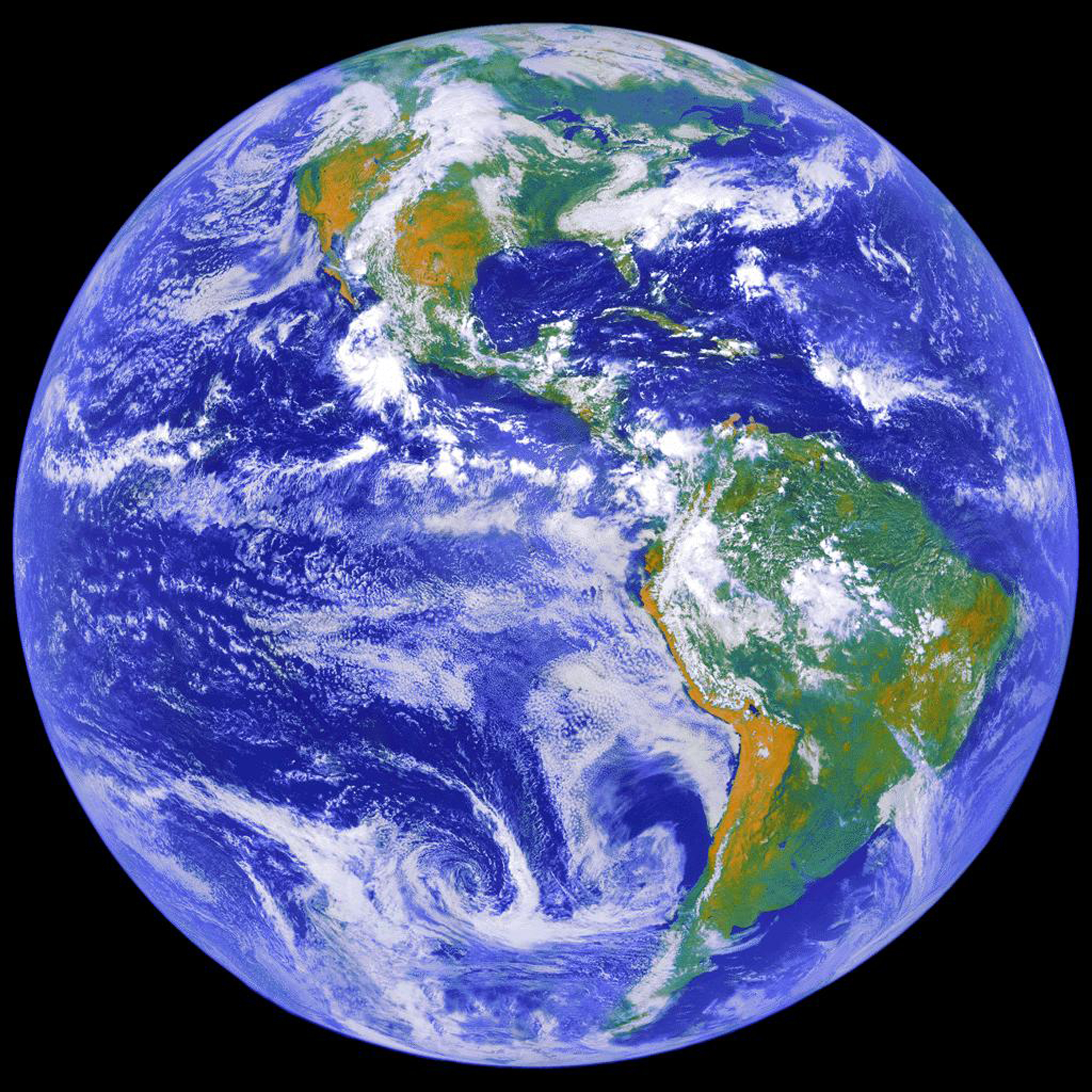
NASA's Earth observation network faces a critical planning challenge: maintaining decades of continuous climate and environmental data as satellites age and budgets shift. Lindsey Jacobson, a key strategist in NASA's Earth science division, works to bridge the gap between current missions and future ones, ensuring no gaps emerge in the scientific record that researchers and operational forecasters depend on.
The agency operates a constellation of satellites collecting irreplaceable data on atmospheric aerosols, sea surface temperatures, land use changes, ice sheet dynamics, and cloud formation. These missions, some launched more than twenty years ago, have built continuous datasets spanning decades. Breaking that continuity damages climate science. Researchers tracking long-term trends in ocean acidification or atmospheric carbon dioxide need uninterrupted measurements. Weather forecasters and disaster response teams rely on real-time Earth observation data to predict hurricanes, monitor flooding, and track volcanic ash.
Yet NASA's satellites do not last forever. Instruments degrade. Fuel depletes. Hardware fails. The agency must plan replacement missions years in advance, coordinating with other institutions like NOAA and international partners. Launch delays, budget constraints, and technical setbacks can create dangerous gaps in the observational record. A satellite mission postponed by two years may leave a gap in sea ice measurements or aerosol tracking that cannot be recovered.
Jacobson's work involves scenario planning for exactly this uncertainty. NASA Earth science faces competing priorities: sustaining legacy missions that remain productive, developing new capabilities to answer emerging questions about climate change and extreme weather, and maintaining the infrastructure that supports both. Decision-makers must allocate resources across dozens of missions at different lifecycle stages, each with different risks and timelines.
The challenge intensifies as climate change accelerates. Scientists need higher-resolution data on ice sheet collapse, forest fires, and coastal erosion. Operational agencies need faster, more accurate satellite observations for weather prediction and disaster response. Yet building, launching, and operating advanced Earth observation satellites costs billions of dollars and takes a decade or more from conception to orbit.
Jacobson's role exemplifies how modern space science requires as much institutional planning as technical innovation. NASA cannot simply build better satellites faster. The agency must think systematically about which datasets matter most, which missions can overlap to provide redundancy, which observation gaps pose the greatest risk to scientific understanding and public safety, and how to sequence new launches to fill those gaps.
This foresight extends beyond NASA. The European Space Agency's Copernicus program, Japan's JAXA, and India's space agency all operate Earth observation missions. Coordinating this global network prevents costly duplication and ensures complementary observations fill the gaps that any single nation's program might leave.
The stakes reach beyond academia. Insurance companies use satellite data to assess climate risk. Agricultural agencies rely on crop monitoring satellites. Water resource managers track reservoir levels. The continuity of Earth observation directly affects how societies prepare for and respond to environmental change.