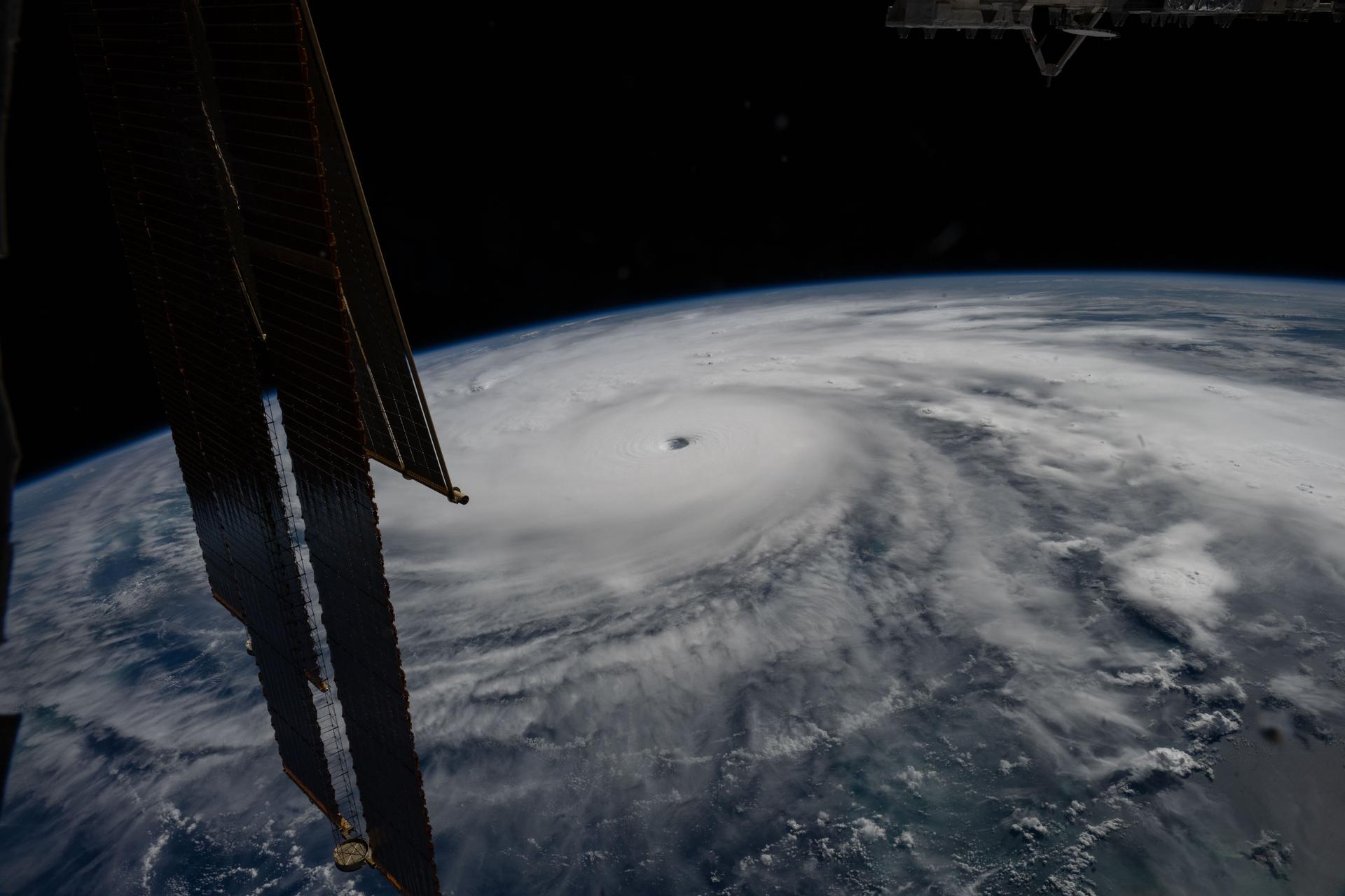
# How Two Satellites Track Hurricanes Amid Historic El Niño Conditions
NASA and the European Organisation for the Exploitation of Meteorological Satellites (EUMETSAT) deployed a dual-satellite system to monitor hurricane behavior during an exceptionally strong El Niño pattern. Sentinel-6B, launched in November, now orbits 30 seconds behind Sentinel-6 Michael Freilich, creating a tandem measurement platform that delivers unprecedented precision in sea level monitoring.
The two satellites measure sea surface height with radar altimetry, collecting data every 10 days along a ground track that crosses 95 percent of the world's oceans. This capability directly improves hurricane forecasts by revealing the thermal structure of ocean water. Warmer, higher sea surfaces correlate with stronger hurricanes, making accurate height measurements essential for predicting storm intensification.
El Niño conditions warm the tropical Pacific Ocean and alter atmospheric circulation patterns globally. When combined with naturally elevated hurricane activity, these conditions create a complex forecasting environment where traditional models require validation. The Sentinel-6 constellation provides that validation through continuous, high-resolution data collection.
Sentinel-6B carries a poseidon-4 altimeter, a radar instrument that bounces pulses off the ocean surface and measures the time for signal return. This produces sea level measurements accurate to within 2.5 centimeters. The satellite also carries a microwave radiometer to correct for atmospheric interference and a laser retroreflector for independent ground-based verification of its orbital position.
The predecessor, Sentinel-6 Michael Freilich, launched in November 2020 and has validated data collected by its even older companion, Jason-3, which operated since 2016. The Sentinel-6 mission continues a 30-year legacy of sea surface height measurements begun by the Topex/Poseidon satellite in 1992. This continuity matters because climate science depends on consistent, uninterrupted time series. A single gap in the data record hampers researchers' ability to separate natural variability from long-term trends.
The hurricane forecasting benefit extends beyond numerical models. Insurance companies, shipping operations, and port authorities rely on these predictions to position resources, reroute vessels, and protect infrastructure. A single category 4 hurricane causes billions in damages, making forecast accuracy a direct economic issue. The National Hurricane Center uses Sentinel-6 data in its official forecast models.
Sea level height also serves as a proxy for ocean heat content. Warmer water expands, raising sea level. During El Niño events, this effect becomes visible in Sentinel-6 measurements. Oceanographers study these patterns to understand how tropical ocean conditions propagate toward hurricane breeding grounds weeks in advance.
The tandem configuration of Sentinel-6 and Sentinel-6B provides redundancy and validation. If one satellite experiences instrument drift or anomalies, the companion satellite confirms whether measurements remain reliable. This parallel operation extends the useful lifetime of both satellites and ensures continuous data flow to forecasters.
Current El Niño conditions match or exceed the strength of the 1997-1998 event, which produced exceptional hurricane activity and dramatic climate impacts. Having Sentinel-6B operational during this period provides a unique opportunity to validate forecast models and understand how sea level dynamics respond to extreme tropical ocean warming.