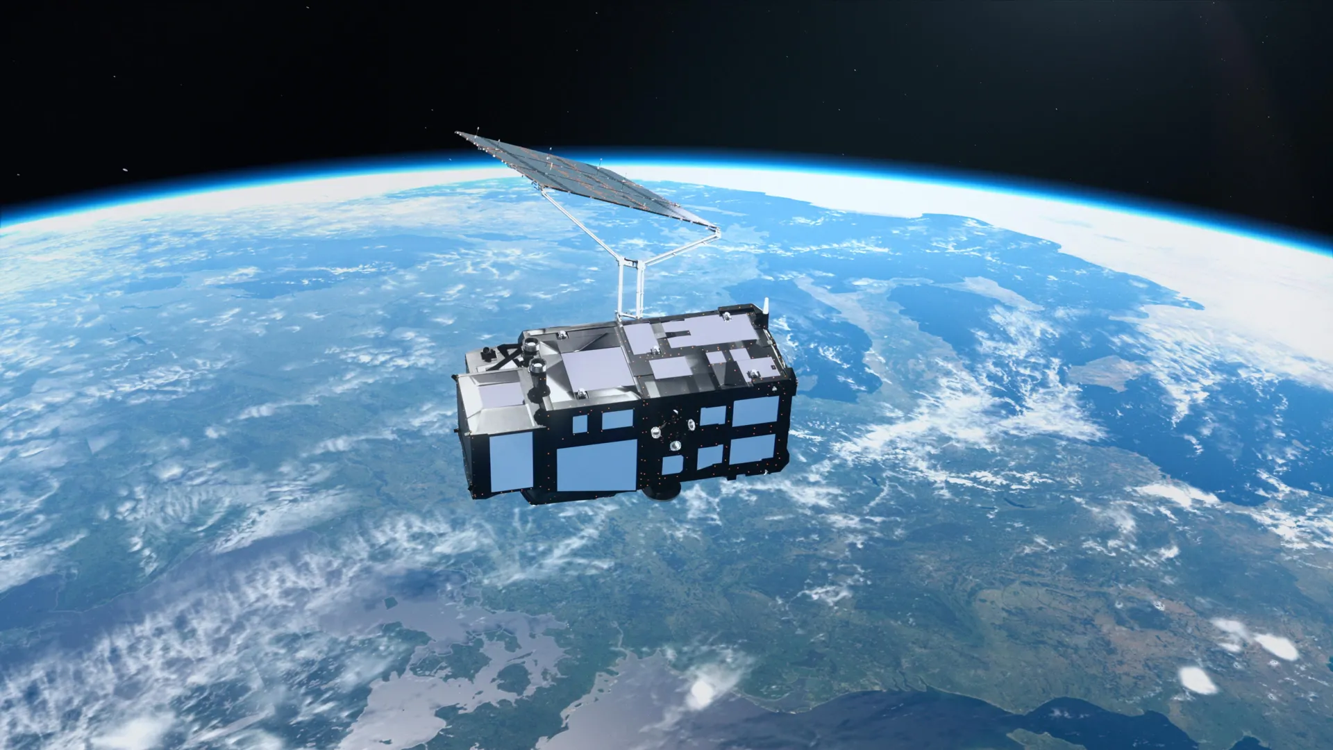
Europe's Copernicus Sentinel-3C satellite captured its first images and measurements just two weeks after reaching orbit, showing snow-covered mountain ranges, frozen Arctic terrain, and turquoise Caribbean waters. The satellite's instruments have begun measuring ocean surface heights and Greenland Ice Sheet elevation as part of Europe's Copernicus Earth observation program.
Sentinel-3C is the third spacecraft in the Sentinel-3 series, equipped with instruments that continuously gather information about oceans, land, atmosphere, and Earth's frozen regions. Over oceans, the mission measures sea surface temperature, color, height, and sea ice thickness. On land, it provides data on droughts, wildfires, vegetation health, water levels in rivers and lakes, and polar ice sheet elevation changes.
The European Space Agency is preparing Sentinel-3C for full operation through a five-month commissioning process. One image captured September 30 shows Italy and surrounding seas, revealing the Po Valley's agricultural expanses, snow-capped Alps, and color variations in coastal waters caused by sediment from rivers. Another image from the same date depicts the Canadian Arctic Archipelago with snow, ice, exposed rock, and fjords, captured near the time when Arctic sea ice reaches its annual minimum.
A third image from September 29 displays the Caribbean with Cuba and the Bahamas, showing shallow turquoise waters contrasting with darker deep ocean.
Sentinel-3C's radar altimeter collected sea surface height data across the Atlantic Ocean and Mediterranean Sea between September 30 and October 4. Researchers compared these observations with the Copernicus Marine Service's multimission sea-level anomaly data, and the early results showed good agreement with existing measurements. The satellite also collected measurements of the Greenland Ice Sheet's surface elevation, which closely matched existing digital elevation models when compared by scientists.
Global sea levels have increased by an average of 3.64 mm per year since 1999, with the rate of rise accelerating. Once commissioning completes, Sentinel-3C will contribute to global sea-level monitoring alongside Copernicus Sentinel-6 and Jason. The altimeter will also observe changes in river and lake heights, sea ice, and land ice, complementing future observations from the upcoming Copernicus CRISTAL mission.