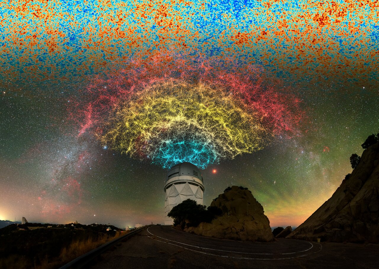
The Dark Energy Spectroscopic Instrument (DESI) collaboration released the largest two-dimensional map of the universe, cataloging nearly four billion celestial objects across three-quarters of the sky. The DESI Legacy Imaging Survey creates a comprehensive optical and infrared census of the cosmos that astronomers worldwide can access immediately.
This dataset represents the culmination of years of ground-based observations using multiple telescopes, including the Mayall 4-meter telescope at Kitt Peak National Observatory and the Blanco 4-meter telescope at Cerro Tololo Inter-American Observatory. Both facilities, operated by NSF NOIRLab, contributed imaging data that researchers combined into this unified catalog.
The map identifies billions of distinct objects: individual stars within our galaxy, distant galaxies billions of light-years away, rare gravitational lenses where light bends around massive structures, supernovae explosions captured at various stages, and other astronomical phenomena. Each object receives precise positional coordinates and brightness measurements across multiple wavelength bands. This multi-wavelength approach allows astronomers to distinguish object types without requiring spectroscopic follow-up observations for every source.
DESI itself measures the expansion history of the universe by collecting spectra from 35 million galaxies and quasars. The Legacy Imaging Survey provides the target selection for DESI observations. When DESI identifies which objects merit spectroscopic study, it relies on this imaging catalog to choose the most scientifically valuable targets. The map essentially serves as DESI's foundation.
The public release of nearly four billion objects represents an unprecedented resource for multiple research domains. Cosmologists use the data to study large-scale structure and trace the universe's expansion. Variable star astronomers discover new objects by comparing multiple observations taken years apart. Supernova researchers identify transient events for follow-up studies. Microlensing surveys hunt for exoplanets through gravitational microlensing effects. Even asteroids and near-Earth objects appear in the database, supporting planetary science missions.
The dataset covers three-quarters of the celestial sphere because the survey avoided regions close to the Milky Way's plane, where dust extinction and stellar crowding complicate observations. Future observations may extend coverage further. The catalog includes objects down to specific magnitude limits, capturing everything from bright naked-eye stars to objects requiring sophisticated telescopes.
NSF NOIRLab made the full dataset immediately available to the astronomical community through public data archives. This approach accelerates discovery by ensuring researchers need not wait for official publications to access the information. Amateur astronomers, professional institutions, and international collaborators can all tap the same resources.
The DESI Legacy Imaging Survey demonstrates how modern astronomy combines data from multiple facilities into unified resources that exceed any single project's original scope. While DESI focuses on spectroscopy, the imaging survey proves equally valuable for population studies, temporal monitoring, and identifying rare objects. The map itself becomes a reference frame against which future surveys can measure changes in the universe's appearance and structure over coming decades.