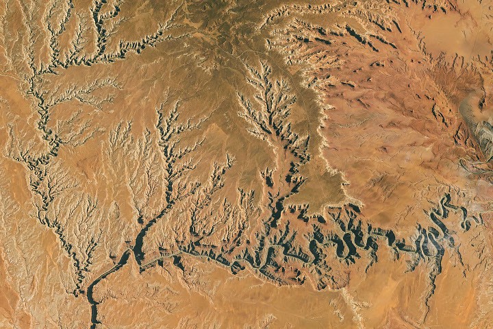
An astronaut aboard the International Space Station photographed Utah's Goosenecks on October 6, 2026, capturing the stark desert landscape where the San Juan River flows through deeply entrenched meanders.
The San Juan River carved its winding path through 300-million-year-old rock after geologic forces pushed the Colorado Plateau upward starting around 20 million years ago. This uplift increased the river's gradient and accelerated its flow, intensifying its erosive power. Today, the river flows through Utah's Goosenecks State Park in a canyon 1,000 feet deep, with horseshoe-shaped bends so extreme that one section travels 5.5 miles between two points only 1.3 miles apart in a straight line.
The Expedition 75 crew member captured the image using a Nikon Z9 digital camera with a 400-millimeter focal length. NASA's ISS Crew Earth Observations Facility and the Earth Science and Remote Sensing Unit at NASA Johnson Space Center provided the photograph, which the International Space Station Program supports as part of the ISS National Lab.
Beyond its geologic features, Goosenecks State Park received an International Dark Sky Park designation in 2021. The remote, high-desert location and 360-degree views make features such as the Double Cluster in Perseus and the Messier 24 star cloud in Sagittarius visible to the unaided eye.