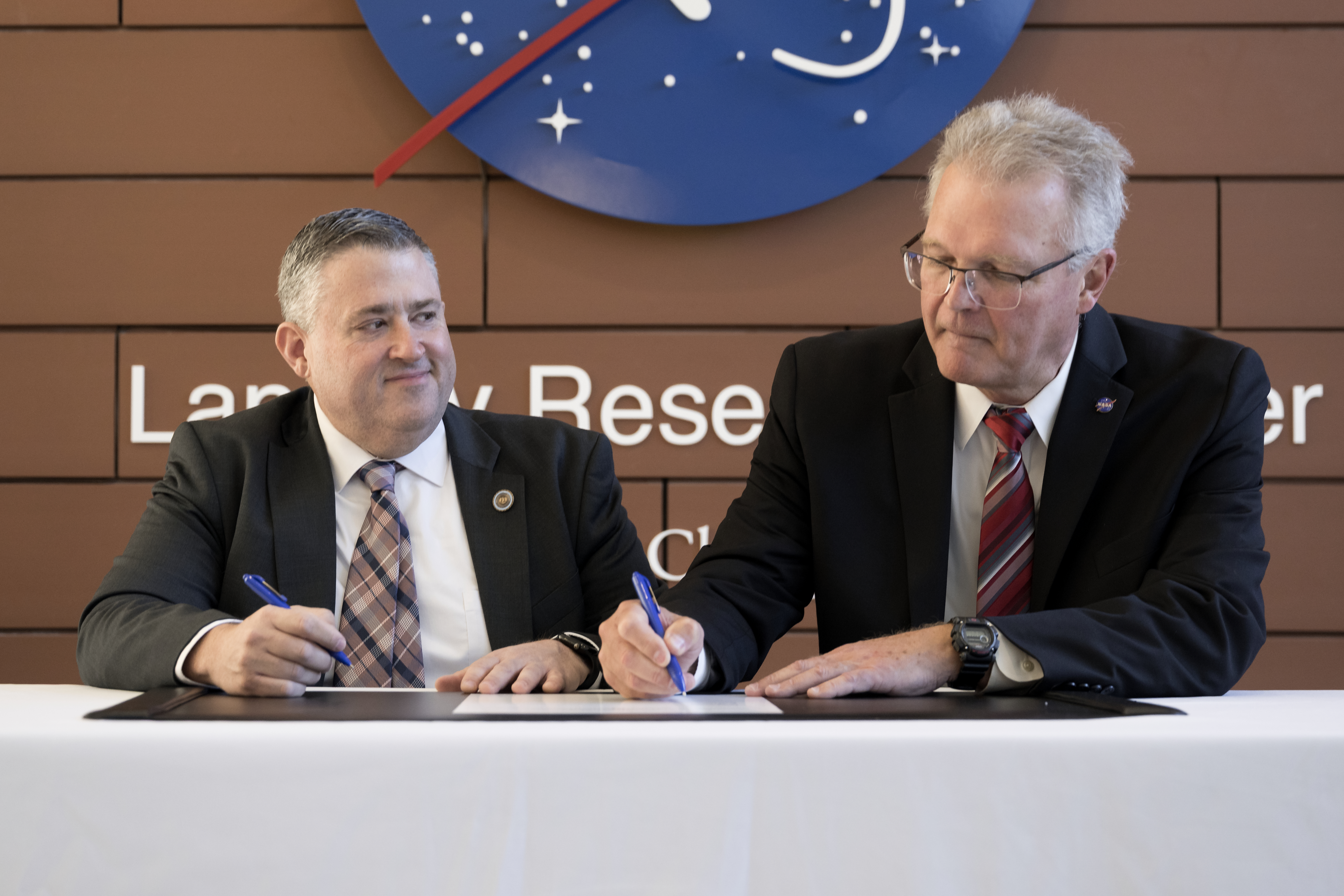
NASA's Langley Research Center in Hampton, Virginia, entered a partnership with the Virginia Department of Energy to strengthen the state's power infrastructure through data-driven energy planning. The collaboration leverages decades of satellite observation and atmospheric research to provide solar irradiance measurements, meteorological datasets, and weather forecasting information essential for energy system modeling.
The partnership addresses a core challenge in modern grid management: predicting renewable energy output. Solar farms and wind installations depend on atmospheric conditions that fluctuate hourly and seasonally. Accurate forecasts of cloud cover, solar radiation, precipitation, and wind patterns allow utilities to balance generation capacity with demand more efficiently. Virginia's growing renewable energy portfolio requires this precision to maintain grid stability while transitioning away from fossil fuels.
Langley Research Center brings specialized capabilities to this effort. The facility operates instruments aboard Earth observation satellites that measure incoming solar radiation at ground level. Scientists there analyze cloud patterns, aerosol concentrations, and atmospheric moisture. This data feeds into models that predict energy availability weeks and months ahead, allowing grid operators to prepare generation schedules and coordinate power transfers across state lines.
The Virginia Department of Energy selected Langley as a partner because the center's meteorological expertise directly applies to renewable energy deployment decisions. State officials use these datasets to identify optimal locations for solar installations, forecast seasonal generation patterns, and plan grid upgrades. Utilities can integrate the information into their own forecasting systems to reduce unexpected fluctuations and minimize reliance on fossil fuel backup plants during low renewable output periods.
Energy security extends beyond keeping lights on. It encompasses economic stability, reduced emissions, and independence from volatile fuel markets. Virginia's location along the Atlantic coast makes it a strategic hub for offshore wind development and solar farming. Accurate weather risk assessments lower costs and increase investor confidence in renewable projects.
The partnership also creates research opportunities. Langley scientists can validate their atmospheric models against real-world energy production data, refining forecasting accuracy. Virginia utilities provide feedback on which datasets prove most valuable, driving innovation in satellite instrumentation and prediction algorithms.
This collaboration reflects a broader trend in space agency work. NASA increasingly partners with state and local governments to apply space-derived data to infrastructure challenges. Langley's Earth science portfolio includes monitoring climate patterns, tracking water resources, and assessing environmental hazards. These capabilities serve communities beyond aerospace engineering.
The Virginia partnership establishes a template for other states. As renewable energy adoption accelerates nationally, state energy offices will need reliable forecasting tools. NASA's existing satellite networks and research infrastructure position the agency to support similar efforts in regions transitioning to clean energy grids.
Long-term energy security depends on integrating multiple data streams, predictive models, and operational flexibility. NASA and Virginia's partnership demonstrates how space-based Earth observation enhances grid resilience while supporting decarbonization goals. The collaboration produces tangible benefits immediately while building capacity for future energy system improvements.